14-06-2024

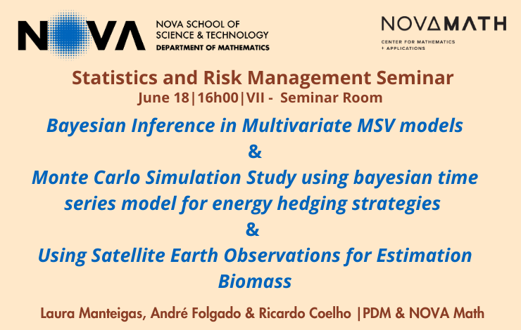
The Center of Mathematics and Applications (NOVA Math), promote the Seminar of Statistics and Risk Management with the titles: “Bayesian Inference in Multivariate MSV models" & "Monte Carlo Simulation Study using bayesian time series model for energy hedging strategies" & "Using Satellite Earth Observations for Estimation Biomass". Laura Manteigas, André Folgado & Ricardo Coelho (PDM & NOVA Math) are the speakers.
Abstracts:
Abstract 1: Financial time series frequently exhibit serially correlated changes in volatility. While this has led to significant research on multivariate ARCH models, MSV models offer significant statistical benefits. Thereby, this study aims to examine temporal volatility patterns through the latter. The research will employ Bayesian MCMC methodology to estimate MSV models, providing a more comprehensive understanding of the multivariate volatility dynamics (e.g., by deriving the posterior distributions for model parameters and studying the complex relationships between the series). Specifically, it aims to investigate volatility patterns in the emerging markets of the EU (as classified by MSCI) across three distinct periods: before, during, and after the COVID-19 pandemic.
Abstract 2: The main objective of this study is to develop a Bayesian time series model for energy hedging strategies. The model will be used to generate scenarios for renewable asset generation. Asset historical data will be used and other relevant exogenous variables such as wind speed, irradiation and temperature when available. Using Monte Carlo simulation, the model will provide sensible medium/long term scenarios for energy generation, allowing to understand cluster's characteristic distributions and the overall agent's risk exposure to generation risk. The model will be validated analysing if covariances and correlations are consistent with historical data. The study will contribute to the existing literature on energy hedging strategies and will provide valuable insights for energy companies to manage their risk exposure.
Abstract 3: The importance of quantifying and monitoring the amount of carbon in forest is crucial to define global policies, understand climate change and help with the emerging market in carbon credits. The quantification of the amount of carbon can be done through the quantification of biomass, since they have the following relationship: Carbon = 0.5×AGB, AGB being the above ground biomass. The estimation of AGB can be done through indirect methods that don’t destroy trees in the process. For example, using statistical models for biomass data collected in forest inventories, which are expensive and time-consuming processes. An alternative brought by technology is remote sensing estimation, collecting remote data, namely through satellites, which can be used in conjunction with terrestrial observations. This can contribute to faster, cheaper and more accurate estimation of AGB. In recent years, machine learning models and statistical models have been applied using the Frequentist approach as well as the Bayesian approach. However, models using the Bayesian approach have obtained better predictive results compared to models using the Frequentist approach. In this work, we use the Bayesian approach applied to Geostatistical modeling, since the response variable (AGB) is a continuous spatial phenomenon in a domain and is observed in a finite number of fixed points. The area of interest for this work is the Palentina Mountain (Monta ̃na Palentina), where we will estimate the AGB only in the forested areas of this region. Palentina Mountain is an area belonging to the Atlantic Forest in northern Spain. To estimate the AGB we use field data, coming from the Fourth National Forest Inventory of Spain as well as remote data, provided by GEOSAT-2 satellite. Remote data are extracted from the reflectance bands, where measures of interest such as vegetation indices, texture and spectral variables can be extracted. In addition land variables such as Slope, Altitude, Orientation, species of the trees, among others are also used.
